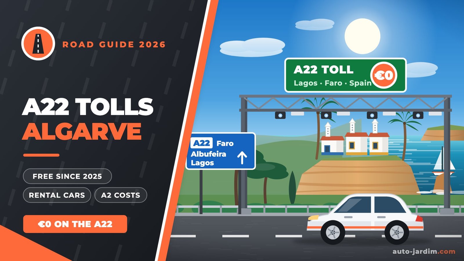

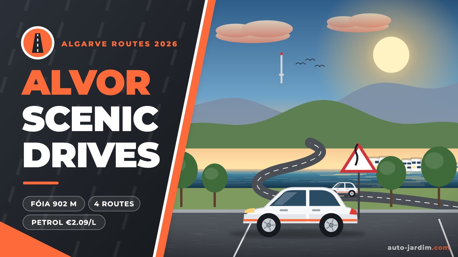
From Alvor, four of the western Algarve’s best drives are 11 to 38 km away: Fóia, the Algarve’s highest point at 902 m (37.9 km, about 45 minutes), the cliffs of Ponta da Piedade in Lagos (23.4 km), Ferragudo and the Algar Seco rocks in Carvoeiro (11 to 21 km) and the castle town of Silves (23.4 km). None of them has a toll: the N-roads are free and the A22 motorway has been toll-free since 1 January 2025. With petrol at about 2.09 EUR per litre in October 2026, each return trip costs roughly 5 to 10 EUR in fuel.

| Route | Distance (one way) | Drive time | Best for |
|---|---|---|---|
| Alvor → Monchique & Fóia (902 m) | 37.9 | 46 min | Mountain road, views over the coast |
| Alvor → Lagos & Ponta da Piedade | 23.4 | 32 min | Golden cliffs, sea stacks, grottoes |
| Alvor → Ferragudo & Carvoeiro (Algar Seco) | 11.2 / 20.8 | 17 / 27 min | Fishing village and rock formations |
| Alvor → Silves | 23.4 | 25 min | Moorish castle and cathedral |
| Bonus: Alvor → Sagres & Cabo de São Vicente | 55.3 | 55 min | Europe’s south-west corner |
Distances and times: OSRM route planner from Alvor village, 31 October 2026, shortest route without traffic. Add time in July and August.
Head north through cork oaks and eucalyptus to the spa village of Caldas de Monchique (25.8 km), then the town of Monchique (30.7 km), and finally the winding climb to Fóia, at 902 m the highest point of the Algarve (37.9 km, about 45 minutes in total). On a clear day you look down over Portimão and the coast. The road is surfaced and signed, with tight bends near the top: brake before the bends, not in them, and expect cyclists on weekend mornings.
West via the EN125 or the A22, Lagos is about half an hour away, and Ponta da Piedade sits just south of the town (23.4 km from Alvor). Wooden walkways and steps lead along the clifftop above the Algarve’s best-known sea stacks. Lagos council has been redeveloping the headland: its plan reserves the last stretch of road to the lighthouse for service and emergency vehicles and adds new car parks further back. We could not confirm which parts are finished in 2026, so follow the parking signs rather than driving to the lighthouse itself, and arrive early in summer.
East across the Arade river, Ferragudo (11.2 km) is a fishing village with steep, narrow lanes: park on the edge of the village and walk down to the waterfront. Continue to Carvoeiro for the Algar Seco rock formations and clifftop boardwalk (20.8 km from Alvor). Our Carvoeiro parking guide covers where to leave the car there.
Follow the Arade valley and its orange groves inland to Silves (23.4 km, about 25 minutes), the old Moorish capital of the Algarve, with its red sandstone castle, cathedral and riverside cafés. Leave the car in the lower town by the river and walk up to the castle: the streets of the old town are steep and narrow.
If you have a full day, drive on to Sagres and Cabo de São Vicente, the south-western tip of Europe (55.3 km, just under an hour). You can walk around the cape, but the lighthouse complex, including its museum, restaurant, shops and toilets, has been closed to the public indefinitely since mid-2026. See our Sagres parking guide for the fortress and the cape.
Petrol (gasolina simples 95) cost a median 2.093 EUR per litre at 179 stations in the Faro district on 31 October 2026, and 2.099 EUR in Portimão, according to the DGEG fuel price portal. Diesel was dearer at 2.277 EUR. Pick a route below to see the fuel for the return trip.
Fuel cost per drive from Alvor
Prefilled with the median price of petrol (gasolina simples 95) at 179 stations in the Faro district on 31 October 2026 (DGEG). Diesel was dearer that day at 2.277 EUR/l. Distances: OSRM, shortest route.
Monchique and Fóia: 37.9 km to the 902 m summit, about 45 minutes each way, on a proper mountain road with views down to the coast. Allow half a day with stops in Caldas de Monchique and Monchique town.
No. The N-roads are free, and the A22 motorway across the Algarve has been toll-free since 1 January 2025.
With petrol at a median 2.093 EUR per litre in the Faro district on 31 October 2026 and a car using 6 l/100 km, the Fóia return trip (75.8 km) costs about 9.50 EUR and Lagos or Silves (46.8 km) about 5.90 EUR.
Only from 7:00 to 12:30 and only to load or unload. Since 19 June 2026 automatic bollards close Rua Dr. Frederico Ramos Mendes and part of Rua Marquês de Pombal from 12:30 to 7:00. Park outside the old centre and walk.
You can drive to the cape and walk around outside, but the lighthouse complex, including the museum, restaurant, shops and toilets, has been closed to the public indefinitely (confirmed in June 2026).
Early morning for calm seas and quiet viewpoints; late afternoon turns the cliffs gold but brings more people and fuller car parks.
Disclosure: Auto Jardim participates in the DiscoverCars affiliate programme. If you book through our links we may earn a small commission at no extra cost to you.
Last fact-checked: 31 October 2026. Sources: OSRM route planner and OpenStreetMap (distances, Fóia altitude), DGEG fuel price portal (31 October 2026), PortiPark / Câmara Municipal de Portimão (Alvor access zone), Portuguese Wikipedia on the Cabo de São Vicente lighthouse, regional press (Postal do Algarve, Barlavento) on the A22 and the Ponta da Piedade works. Not confirmed and therefore not quoted: parking fees at Ponta da Piedade, Ferragudo and Silves.